awesome powerpoint maps
UK - United Kingdom and Ireland
Yes!, you can edit these maps in powerpoint. Recolor, resize, even edit individual points. Even the county names / unitary authorities are standard editable powerpoint text boxes.
 |
 |
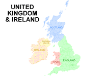
UK & Ireland Powerpoint map
Showing England, Ireland, Scotland, Wales, Northern Ireland |
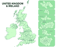
UK & Ireland Powerpoint map
Counties / Authorities Breakouts |
 |
 |
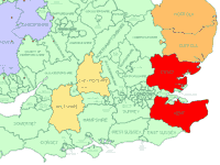
UK map, being edited
in powerpoint
Zoomed in 400%
Show bigger image |
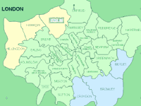
London Area - Breakout
Zoomed in 400% |
 |
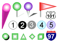 |
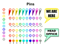
| Each map comes with over 500 colorful markers |
Close up of pins, flags, numbers and markers |
 Previous -
Next set Previous -
Next set  |
This whole set is free to download as a .ZIP file

Click here to download zip file
|
Customers who downloaded these free
UK Maps also bought:
Maps and Flags - World Globes
World Map - Animated Globe |
These professional editable Ireland and UK powerpoint maps greatly enhance any Ireland & UK related business presentation.
You can download these templates today.
|
Keywords for this set:
britain, british, clip- art, clip-art map, clip-art maps,
clipart, clipart map, clipart maps,
edit, editable, editing, eire,
england, england map, english map,
geography,
ireland, ireland map, irish, irish map,
map, mapping, maps, maps for powerpoint,
powerpoint maps, presentation maps,
region, regional, regions,
scotland, scotland map, scottish map,
u k map, united kingdom, united kingdom map, uk map, uk maps, uk,
wales, wales map, welsh map,
Most counties / unitary areas
are marked on this Ireland and UK map
From Aberdeen City to York
|
|