awesome powerpoint maps
The awesome powerpoint maps are aimed at people who want use them as a piece of clipart. Each map can be edited in powerpoint. That means you can re-color, re-size, edit and animate the maps, just like any other powerpoint object. Each map is very detailed. The US State Maps show, major cities, roads and water areas.
We have carefully grouped together each element, so you can easily just edit the area you want (e.g. re-color just the land area, or remove the water areas).
The 2nd and 3rd examples below (3D and Graduated), show what you can achieve just by using our maps and powerpoint.
 Make a selection from the powerpoint maps section to see the powerpoint maps Make a selection from the powerpoint maps section to see the powerpoint maps
 |
 |
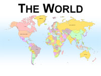
World Map
Editable in powerpoint |
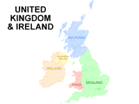
UK & Ireland Map
Edit in powerpoint |
 |
 |
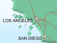
| 3D effect added in powerpoint |
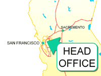
Head Office Text Box and
Graduated yellow color
all applied in powerpoint |
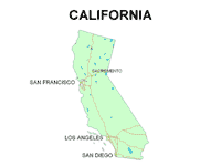 |
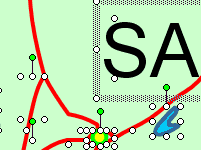 |
Powerpoint map
As supplied |
Map ungrouped and
ready for editing |
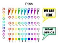 |
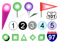 |
| Each map comes with over 500 markers |
Close up of pins, flags, numbers and markers |
|
|
Customers who downloaded these free
PowerPoint Map Backgrounds also bought:
Maps and Flags - Patriotic
Texas powerpoint map - Animated US Flag |
These professional powerpoint maps greatly enhance any geography related powerpoint presentation.
You can download these maps today.
|
Keywords for powerpoint maps:
america, american, australia, australian,
CA, calif, california, cisco
clipart, clipart map, clipart maps,
dallas,
edit, editable, editing,
FL, florida,
geography,
golden state,
houston,
individual states,
keys,
LA, lone star state, los angeles,
map, mapping, maps, maps for powerpoint,
north america,
patriotic, patriotism, powerpoint maps, miami,
sacremento, saint petersburg, san antonio, san diego, san francisco,
st petersburg, state, state maps, states,
sunshine state,
tampa, texas, TX,
u s map, united states, united states map, us map, us maps, usa, usa map, usa maps,
world, worlds
|
|